|
|
Mt Baker-Snoqualmie National Forest
|
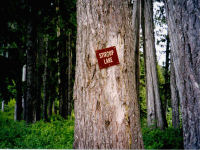 |
The hike to Stirrup
Lake is one of two hikes on which we didn't encounter
another
human
being.
That
alone makes this trip a standout hike. |
|
|
|
|
 |
| After our experience at
Talapus Lake when we took the
wrong trail and walked many miles in the wrong direction,
I actually went to REI and printed out a National Geographic
map of the trail and surrounding area. Ultimately
the map wasn't as useful as the directions provided by
our
favorite guidebook but it was fun to try the new technology. |
| The reference that has been most valuable is a guidebook
called Seattle Outdoors Hiking & Cycling: Puget Sound
and Cascades by Bob Dreisbach. It is a no nonsense encyclopedia
of hikes with clear directions to reaching the trailhead,
equally clear directions on the trails and notes about
what to expect. The hikes are organized sequentially
by region, making it easy to choose from the hikes available
in a particular area. |
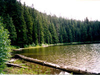
| In this case, just as Mr. Dreisbach promised, the route
was 3 miles round trip and the elevation gain was only
400 feet. |
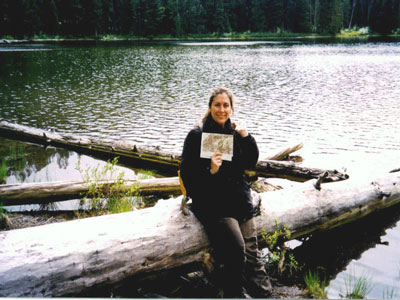
| by Dianne Bengtson |
photography by Steve Robertson
|
|
|
|
Be Aware
Mosquitos: Be prepared
with repellant and suitable clothing.
Direct Sun: Sunscreen
or hats recommended
|
|
|
|
|
|